Geography
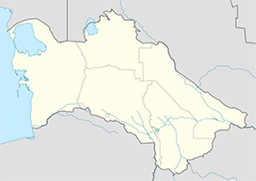
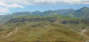
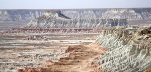
Turkmenistan is located in the southwest of Central Asia and has access to Caspian sea on the west. Amu Darya river flows on the east, on the south and southwest the republic is locked by Kopetdag and Paropamiz mountains. Waterless desert Kara Kum occupies 80 % of country territory. Only 3 % of land irrigated from Kara Kum channel is fertile. Turkmenistan borders on Kazakhstan and Uzbekistan on the north, Iran and Afghanistan -on the south and southeast.
Climate
It’s distinctly continental and dry. Average temperature in January is +4° С , in July + 28° С average, whereas absolute values of temperature in Kara Kum desert reach 48-50° С .
Industry
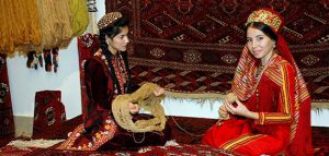
Economy is based on oil and gas production, chemical industry (production of iodine, salt cake, super phosphate, potash fertilizers and sulphuric acid), oil refining and LIGHT industries (pre-processing of cotton and wool, karakul skins, silk cocoons, textile and knitting industries).
Agriculture
Cotton growing is the most popular activity. People grow grain (wheat, barley, rice, joughara), vegetables and melons and fodder. Sheep breeding (Karakul sheep breeding) is the most popular type of livestock breeding. Cattle, horses and camels are also bred.
National currency: Manat
Area: 488 100 sq. km.
Population: 5.4 million people (2016 y.)
Administrative divisions: 5 provinces, capital city, 58 cities and towns.
Capital: Ashgabat
Head of State: President
National Legislature: Khalk Maslakhaty
Languages: Turkmen (official), Russian (language of interethnic communication)
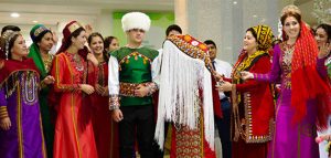
Ethnic groups: Turkmens (78.57%), Uzbeks (9.38%), Russian (3.23%), Kazakhs (2.70%), Baluchi (0.71%), Azeris (1.02%), Armenians ( 0.43%), Tatars (1.19%).and others.
Religions: Sunni Muslim, Russian Orthodox


